


14,5 km | 23 km-effort

Tous les sentiers balisés d’Europe GUIDE+


Application GPS de randonnée GRATUITE
 SityTrail
IGN / Instituts géographiques
SityTrail World
Le monde est à vous
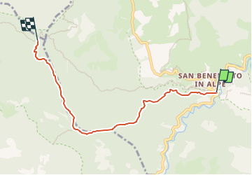
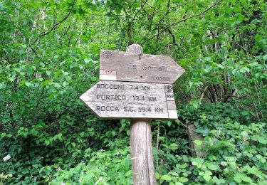
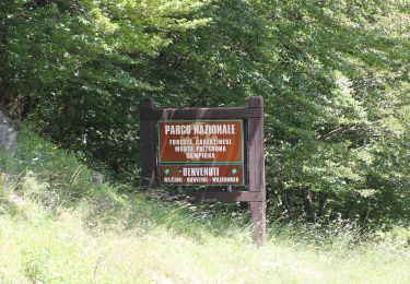
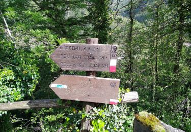
Randonnée A pied de 5,6 km à découvrir à Émilie-Romagne, Forlì-Cesena, Portico e San Benedetto. Cette randonnée est proposée par SityTrail - itinéraires balisés pédestres.
Randonnée créée par CAI Faenza.
Relation maintened by Gabriele Sani (CAI-FA)
Symbole: 409 on white red flag
Site web: http://www.caifaenza.it/


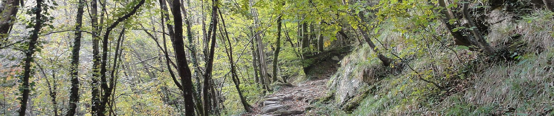
A pied

A pied
A pied
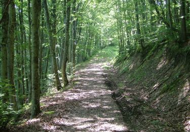
A pied

A pied
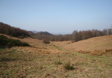
A pied
A pied
A pied
A pied